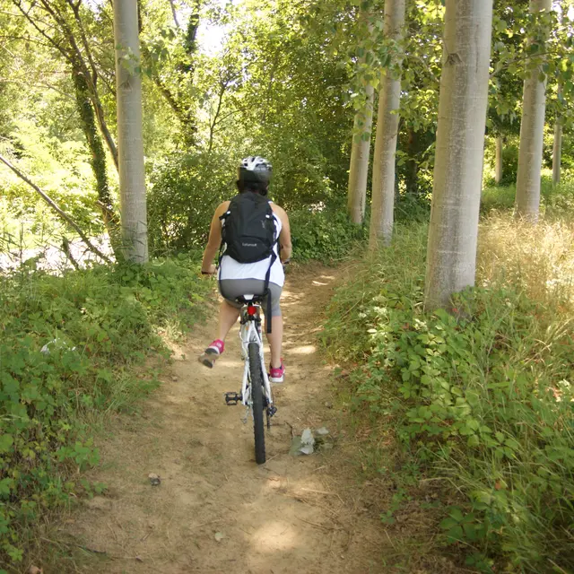
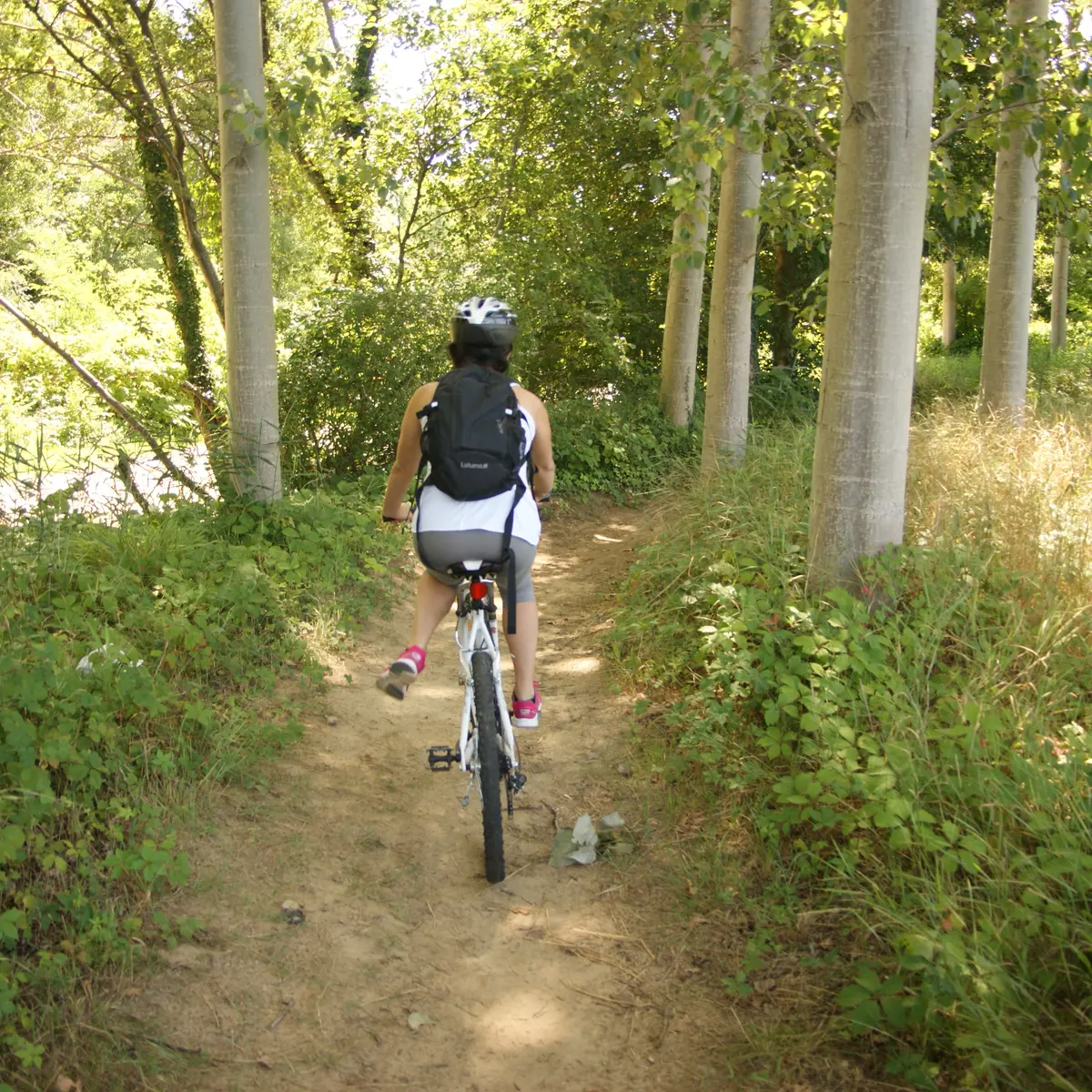
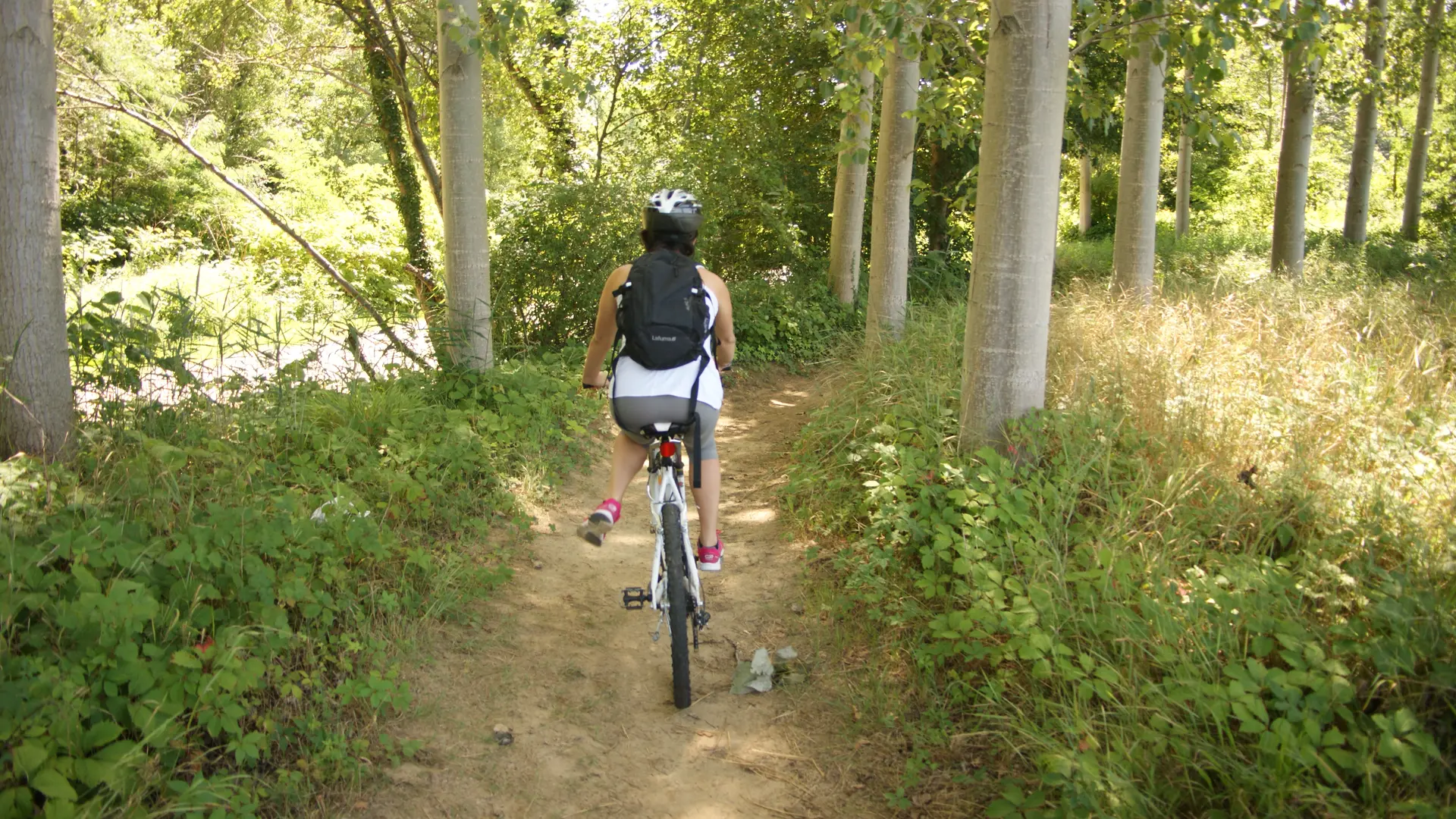
Discover the hills around the villages of Hauterives, Saint Avit, Tersanne on this trail offering views of the medieval Tower in Ratières.
Find this route on the MHIKES app.
It's a free application that turns your cell phone into a GPS for hiking, biking and mountain biking. Once the route is loaded online, you no longer need to be connected, and there's no risk of getting lost.
The walker is guided by voice instructions from his or her device, which indicates changes of direction, natural or historical points of interest, areas to watch out for...
Photos, audio content and short quizzes are also provided to enhance the walk and help you find your way around.